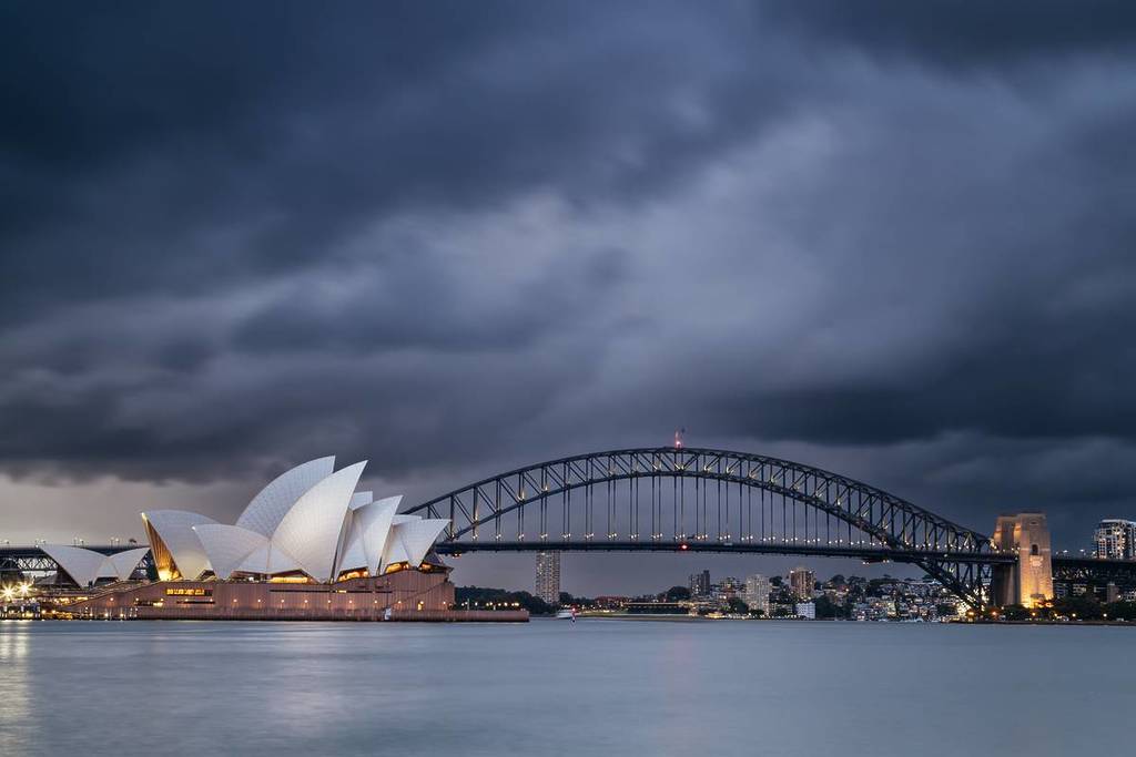

Sydney is in for a wet and unsettled few days as another weather system sweeps across southern Australia this week. After bringing rain, thunderstorms and strong winds to parts of Western Australia and South Australia, the system is moving east, with conditions expected to deteriorate across NSW from Tuesday. Southern parts of the state are likely to feel the effects first before showers and storms spread towards the east coast, while some areas could pick up significant rainfall along the way. The latest spell of wild weather comes after an unusually wet winter in some parts of NSW, leaving some areas already saturated. Here’s what the forecast is looking like for Sydney and NSW this week.
Heavy rain and storms forecast for NSW this week
The heaviest falls are expected around the Australian Alps, with Weatherzone forecasting 50 to 100mm across parts of southeastern Australia by Wednesday. Parts of southern NSW could also see substantial rain on Tuesday, with the Bureau of Meteorology forecasting 40 to 60mm or more across some areas of southern NSW and northeastern Victoria. With the ground already wet from recent rainfall, there is an increased chance of flooding in vulnerable areas.
The rain will be accompanied by thunderstorms in some areas as the low and associated cold front continue east. Conditions are expected to shift towards the NSW coast on Wednesday, with showers and thunderstorms developing across eastern parts of the state and into southern Queensland as the low heads offshore.
Weatherzone said the current event is “unlikely to be extreme”, although it arrives just days before the start of spring and the return of Australia’s storm season. Conditions across eastern Australia are expected to become calmer later in the week as high pressure takes over.
Follow the latest updates on the Bureau of Meteorology Twitter page, and Weatherzone before heading out.