
Parts of NSW are bracing for a wet and stormy few days, with heavy rainfall and the threat of flash flooding across the state’s north. A powerful weather system has already brought torrential downpours to southeastern Queensland and northeastern NSW, with rain and thunderstorms forecast to continue throughout the week. Some areas could see rainfall totals of 100mm to 150mm, while isolated locations may receive even more. The wet weather is also expected to spread further along the NSW coast, bringing showers and possible thunderstorms to Sydney. With the weekend approaching, here’s what the latest forecasts suggest and which parts of the state could be hardest hit.
Heavy rain and thunderstorms forecast across northern NSW
The Bureau of Meteorology has identified the Northern Rivers, Northern Tablelands and North West Slopes and Plains as areas of concern, with the Mid North Coast also facing significant rainfall. Thursday, October 22, is expected to bring some of the most intense conditions, particularly across the northeast, where severe thunderstorms could trigger flash flooding.
The Northern Rivers could see further showers and possible thunderstorms on Saturday and Sunday, with rainfall totals varying considerably between locations. The Mid North Coast is also expected to experience periods of rain and possible thunderstorms, while conditions across inland northern NSW will depend on how the weather system develops.
The threat of flash flooding remains a concern in areas affected by intense rainfall, particularly where the ground is already saturated. Localised thunderstorms could bring heavier falls than the broader regional forecasts suggest. According to Weatherzone, the prolonged spell of rain is being driven by moisture arriving from two directions. Winds higher in the atmosphere are carrying moisture from the Indian Ocean, while winds closer to the surface are drawing additional moisture from the Coral and Tasman Seas. A series of low-pressure troughs is helping produce widespread rain and thunderstorms.
Will Sydney be affected?
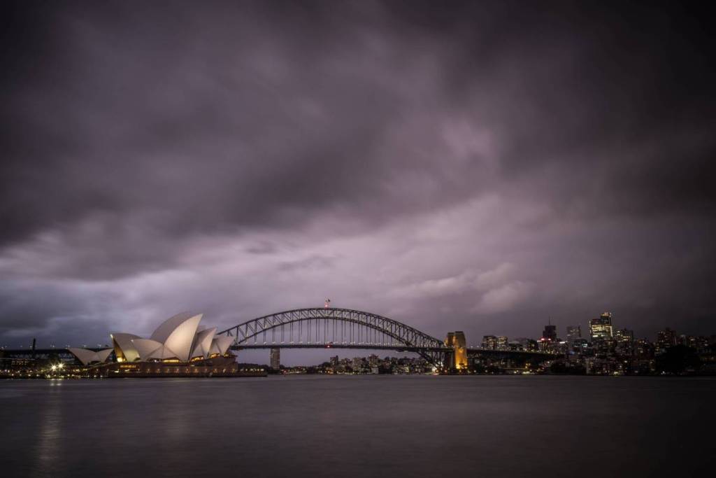
Sydney is expected to avoid the most intense rainfall, although showers and thunderstorms are possible over the weekend. Saturday brings a slight chance of showers and storms, while Sunday could be wetter, particularly during the afternoon and evening.
The Central Coast and Hunter could also experience showers and thunderstorms, with generally lighter rainfall than northern NSW. Residents travelling this weekend should check local forecasts and road conditions, particularly in flood-affected areas. For updates, follow the Bureau of Meteorology Twitter page and Weatherzone.