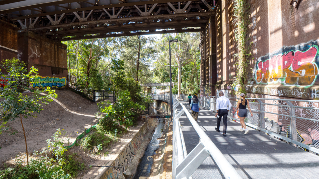

With longer days, warmer weather and spring in full swing, there’s no better time to swap the treadmill for one of Sydney’s many scenic walking trails. From stunning coastal tracks to leafy bushwalks, there’s plenty to choose from in and around the city, but one of its newest routes offers a completely different way to explore the Inner West and some of its trendiest suburbs. The GreenWay is a 6km walking and cycling trail connecting neighbourhoods between the Cooks River and Iron Cove, winding past tranquil parks, local cafes and pockets of greenery along the way. The shared walking and cycling track only opened late last year, but it’s quickly become a local favourite, with Inner West Council recently reporting that the track is on course to record nearly one million visits in its first year. Keen to explore it yourself? Now is the perfect time. Here’s everything you need to know about the GreenWay.
Exploring the GreenWay
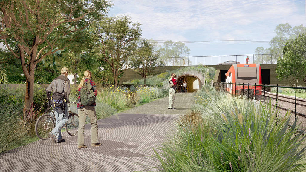
There’s plenty to see along the GreenWay, with the 6-kilometre corridor stretching from the Cooks River at Earlwood to Iron Cove on the Parramatta River, also connecting with the popular Bay Run. Along the way, the trail threads through the Inner West via a mix of leafy parks, reserves and waterside stretches, with much of the route following the light rail corridor and Hawthorne Canal. Walkers and cyclists can pass through green spaces including Johnson Park, Laxton Reserve and Cadigal Reserve, while playgrounds, sporting facilities, public artworks and heritage sites add a variety of things to see and do beyond the scenery.
You don’t have to complete the entire route in one go either. With the GreenWay passing through neighbourhoods including Dulwich Hill, Lewisham, Haberfield and Leichhardt, it can easily be broken into shorter walks, with plenty of opportunities to venture off the path for coffee or lunch at a nearby cafe along the way. The light rail also makes it easy to choose your own starting and finishing points, whether you want a quick weekend stroll or plan to cover the full trail.
The trail has another purpose beyond recreation. The GreenWay has been developed as an environmental corridor, with bushcare areas and pockets of habitat incorporated throughout the route. The blend of urban suburbs, regenerated green space and waterside scenery is what sets it apart from Sydney’s more familiar coastal and bush walks.
Key features
- What: The Greenway
- Distance: Around 6km Route: Cooks River, Earlwood to Iron Cove and the Bay Run
- Suitable for: Walking and cycling
- Terrain: Mostly shared paths and foreshore sections
- Public transport: Multiple light rail stops provide access along the route
- Facilities: Parks, playgrounds, sporting facilities and cafes along the way
- Route map: Available via Inner West Council
Find more information about The GreenWay here.
Getting there
The GreenWay is easy to reach by public transport, particularly via the L1 Dulwich Hill light rail line, which runs alongside much of the route and provides several convenient access points. If you’re driving, street parking is available around different parts of the trail, although availability varies between suburbs. From the CBD, allow roughly 20 to 30 minutes by car, depending on traffic and where you plan to join the GreenWay. Plan your trip on Transport for NSW.